Eight surprising landscapes in Geopark Schelde Delta

From rugged dunes, vast polder areas and meandering rivers. Geopark Schelde Delta has particularly contrasting and surprising landscapes and so many beautiful places. Ready to be discovered. Enjoy the outdoors, the fresh air. Go exploring in the Schelde Delta. We give you 8 tips for surprising areas rich in geology, nature and cultural history that you should definitely visit.

Veerse-Meer_-Middelplaten-voormalige-platen (Sky Pictures)

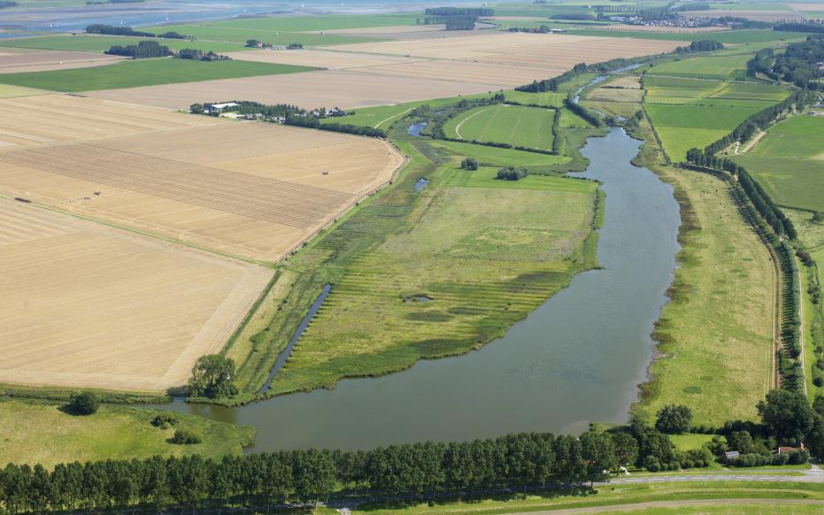
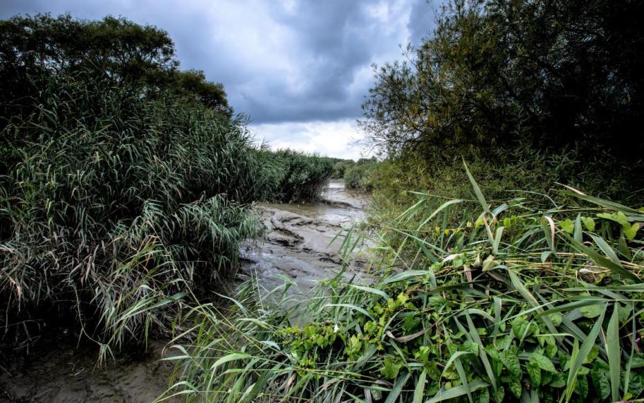
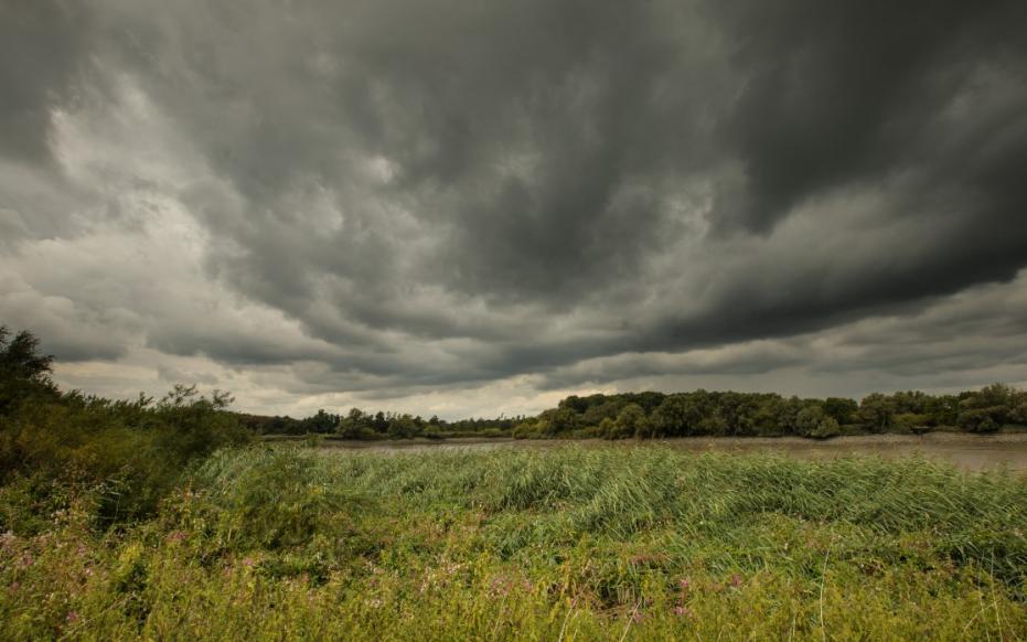
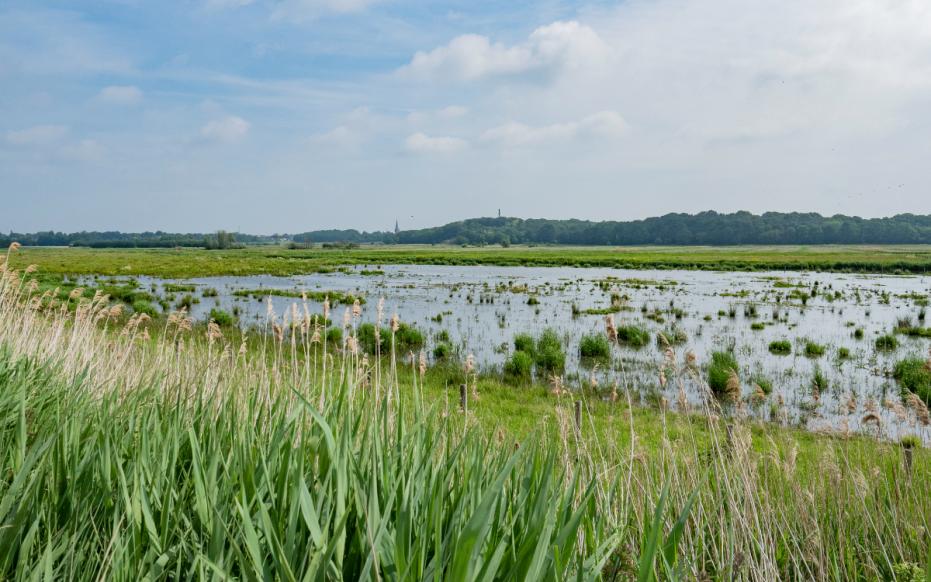
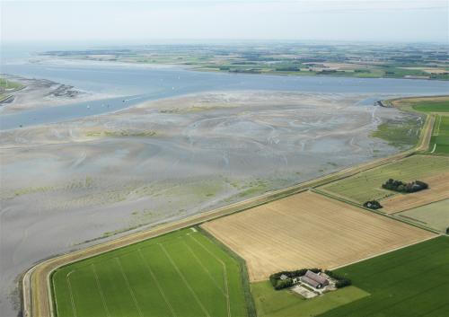
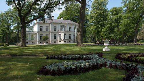
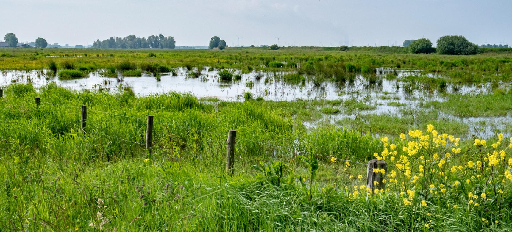
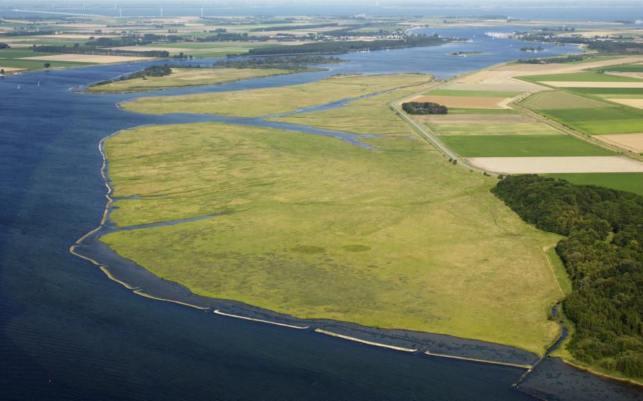
1. Bokkegat nature reserve - Noord-Beveland

The region of Noord-Beveland is a gem in Zeeland. Its quiet, agricultural character has been preserved. Small villages adorn the island. Those who enjoy water sports will find what they are looking for along Veerse Meer, the Eastern Scheldt and the North Sea beach. The island was formerly bisected by the tidal channel the Wijtvliet, later called the Bokkegat. The remnants of this lie centrally on the island as a nature reserve.

Luchtfoto Oosterschenge tussen eiland van Wolphaartsdijk en Zuid-Beveland (Sky Picture)

2. De Zwaakse Weel

Here you will experience tranquility. Enjoy beautiful nature, ancient farmhouses, dikes and old villages. The Zwaakse Weel as a winding blue ribbon in between. In the 12th and 13th centuries, this area was an important shipping route from the North Sea to Antwerp: Het Zwake. After gradually silting up in the 15th century, the area was gradually reclaimed. Remnants of this tidal channel lie as the Zwaakse Weel in farmland.

Manteling van Walcheren, Oostkappele Buitenplaats Westhove (Sky Pictures)

3. De Manteling van Walcheren

A contrasting area of rugged dunes and sleek avenues of country estates. An ancient oak forest here extends close to the sea. The trees have been "sheared" by the salty sea wind, giving them sometimes fairy-like shapes. The forest houses a special tree that is said to have been the model for a work by Mondrian.

De Poel, Hoeve vd Meulen bij 's-Heer Abtskerke

4. Zak van Zuid-Beveland

The Zak van Zuid-Beveland is an oasis of peace and quiet. A medieval coulisse landscape with blackthorn and hawthorn hedges, flower dikes with rows of trees, apple-pear orchards, old farmhouses, old villages. An area in full bloom in spring. And that is in the sign of fruit picking in the fall.

Hingene - kasteel d'Ursel (gemaakt door Herman van Damme)

5. The Rupel region

A very special area south of Antwerp, the Rupel region. Here a 30-million-year-old layer of very compact marine clay comes to the surface in the form of a so-called cuesta. Along the Rupel from Hemiksem to Rumst, an extensive brick industry has developed since the 18th century, which has now almost disappeared. Traces of geology and cultural history are visible everywhere. Join us on a discovery of traces of the past in this beautiful part of the Geopark Schelde Delta.

De Schelde bij Weert - zoetwaterschorren langs de Schelde

6. De Durme

The Durme, a tributary of the Scheldt, runs from the Moervaart depression through Lokeren and Waasmunster to Tielrode where it flows into the Scheldt. The peculiarity here, some 120 kilometers away from the mouth of the Western Scheldt, is a tidal difference of several meters. At low tide it is a narrow stream and at high tide it is a much wider stream that looks turbid due to the many transports of silt. Along the river in several places are still the original flood plains, meadows, which serve as hay meadows in the summer. West of Lokeren, the river has a fixed level and also has a stronger recreational function there. Between Waasmunster and Hamme is also the Old Durme. This is a section of the Durme cut off in the 1930s with a large number of meanders. Besides scenic beauty, the area also has a rich cultural history.

De Schelde bij Weert - zoetwaterschorren langs de Schelde

7. Along the Old Scheldt

In the 13th century, the course of the Scheldt changed northwest of Bornem, creating the Old Scheldt, a piece of cut-off river. In 1592 it became accessible for navigation again by the construction of a sas. Along the Old Scheldt, very wet trouser or marsh forests intersected with ditches and straight causeways occur. Many willows grew in these areas. A wicker culture developed around the willows or wijmen that persisted until the 20th century. Central to the area is the imposing Castle of Marnix of Sint-Aldegonde. Wandering through the area you will come across an old chapel with a healing spring next to it (or so the story goes). A beautiful area for walking or cycling.

Brabantse Wal, Noordpolder (gemaakt door Piet Bout)

8. De Brabantse Wal

The Brabant Escarpment, where Brabant kisses Zeeland. 2 million years ago, precursors of Rhine and Meuse deposited thick layers of sand and clay here. In Zeeland, these layers were completely cleared away by the Scheldt in the Pleistocene. Its boundary is now marked by the Brabant Escarpment. An area up to 25 meters higher than the adjacent polders. A beautiful gently undulating area with regional products such as asparagus, hard-won over the centuries and with a special connection to the Canadian liberators (Canadian War Cemetery).

Landbouw Schorren en slikkenBrabantse Wal - buitenplaats Mattemburgh - gemeente Woensdrecht