Brabant Escarpment - Kalmthoutse Heide

The Brabants Escarpment - Kalmthoutse Heide geosite is a large and diverse area with different landscape elements and geological phenomena. The distinctive feature of the area is the steep edge of the Wal, which on a large scale is seen to be straight but in detail it has a strongly lobed character with protruding "capes" and "bays" in which clearly incised stream valleys emerge. About 2 million years ago, at the beginning of the Pleistocene, the area of Brabant Escarpment was part of a large estuary of Rhine and Meuse, into which rivers from the Scheldt basin flowed from the south. In this estuary, between 2 and 1.6 million years ago, an alternation of sandy and clayey layers was deposited which now form the subsoil of the Brabant Escarpment.

51.495437969961, 4.28494775

Geologische kaart

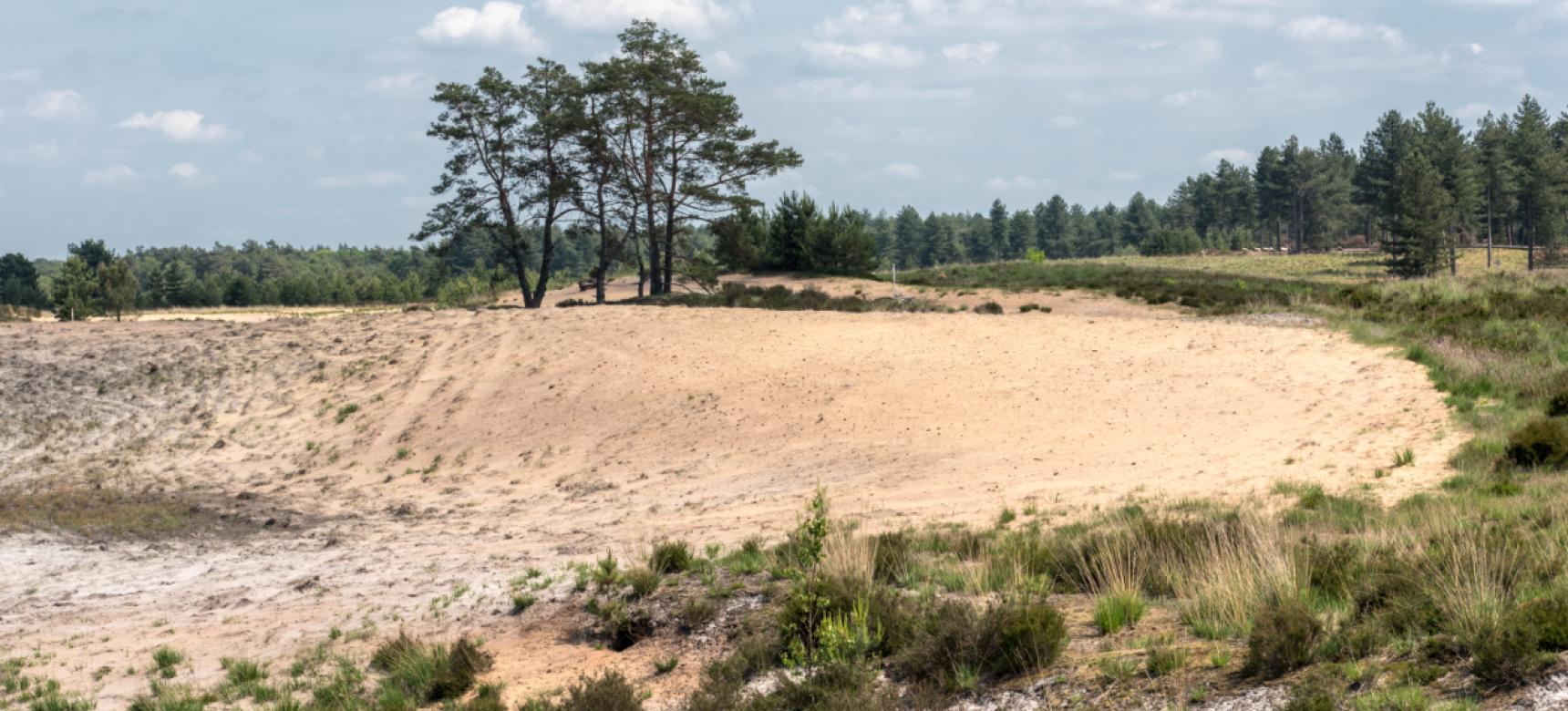
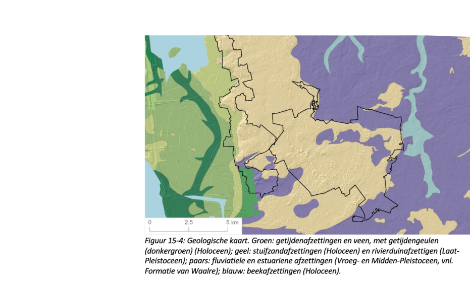
Formation of the Wal

After the deposition of the Waalre Formation, the courses of Rhine and Meuse shifted and thus disappeared from the area. From about 1 million years ago, West Brabant gradually rose and the deposits from the Scheldt Basin were eroded again. The solid clay layer at the top of the Waalre Formation resisted this erosion and caused the formation of the steep-sided edge. Almost no traces remain of the long period of 1.5 million years between the deposition of the Waalre Formation and the last ice age. Only a thin layer of gravel on top of the clay separates the Early Pleistocene Formation of Waalre from the Late Pleistocene cover sand. The "Scheldt gravel" remained after the finer parts of these deposits were washed away by streams or swept away by the wind.

Buitenplaats Mattemburgh, Brabantse Wal (gemaakt door Nick Franken)

End of the last ice age

At the end of the last ice age, the sea level was much lower and much of the North Sea was dry. The area of the Brabant Escarpment was part of a vast polar desert. In the dry and cold climate, wind deposited a layer of cover sand all over the landscape. During the same period, the Scheldt River flowed north from Antwerp at the foot of the Brabant Escarpment. During the Young Dryas, a last cold burst of the Ice Age, large quantities of sand were blown from this Scheldt valley onto the flank and high side of the Brabant Escarpment. The sand was deposited on top of the Wal in a broad belt of so-called river dunes, which often have a parabola or crescent shape.

Fort Henricus West Brabantse Waterlinie, Brabantse Wal (gemaakt door Nick Franken)

After the ice age

As the climate improved after the last ice age, the landscape quickly became overgrown with forest. As a result, the sand drifts stopped and the river dunes stabilized. Especially from the Late Middle Ages on, the Young Dryas river dunes started to drift again due to the strongly increasing human influence on the landscape. It is possible that climate changes also played a role, in the form of an increase in the number and strength of extreme storms. On the eastern edge of the dune areas there are locally prominent steep and high crest dunes or shifting sand dunes that form a clear boundary with the much flatter cover sand landscape to the east. These were formed when man established the historic sand dunes by planting the slopes with oak coppice.

Kalmthoutse Heide, Kriekelareduinen (gemaakt door Ed Kil)

Rising sea level after ice age

Nowhere in the Netherlands is the transition from the cover sand landscape to the polders of the sea clay area as abrupt as on the Brabant Escarpment. From the 17th to the 20th century, the silted up area was gradually diked in from the Brabants Escarpment. The siltation level of the salt marshes followed the rise of the high water level, which caused the youngest salt marshes to silt up higher. The oldest polders have also subsided because the subsoil consists of a thin layer of sea clay on peat. Because of the lower position, the oldest polders are wetter than the young ones. This effect is reinforced by groundwater seepage from the high sandy soils on the Brabant Escarpment. Small and larger quarries and excavations in the steep edge of the Brabant Escarpment bear witness to the formerly important brick and limestone industry in the area. For this, the clay and sand layers of the Waalre Formation and the overlying cover and shifting sands were quarried.

Visit via: Putsesteenweg 129, 2920 Kalmthout, Belgium