Origin of the landscape
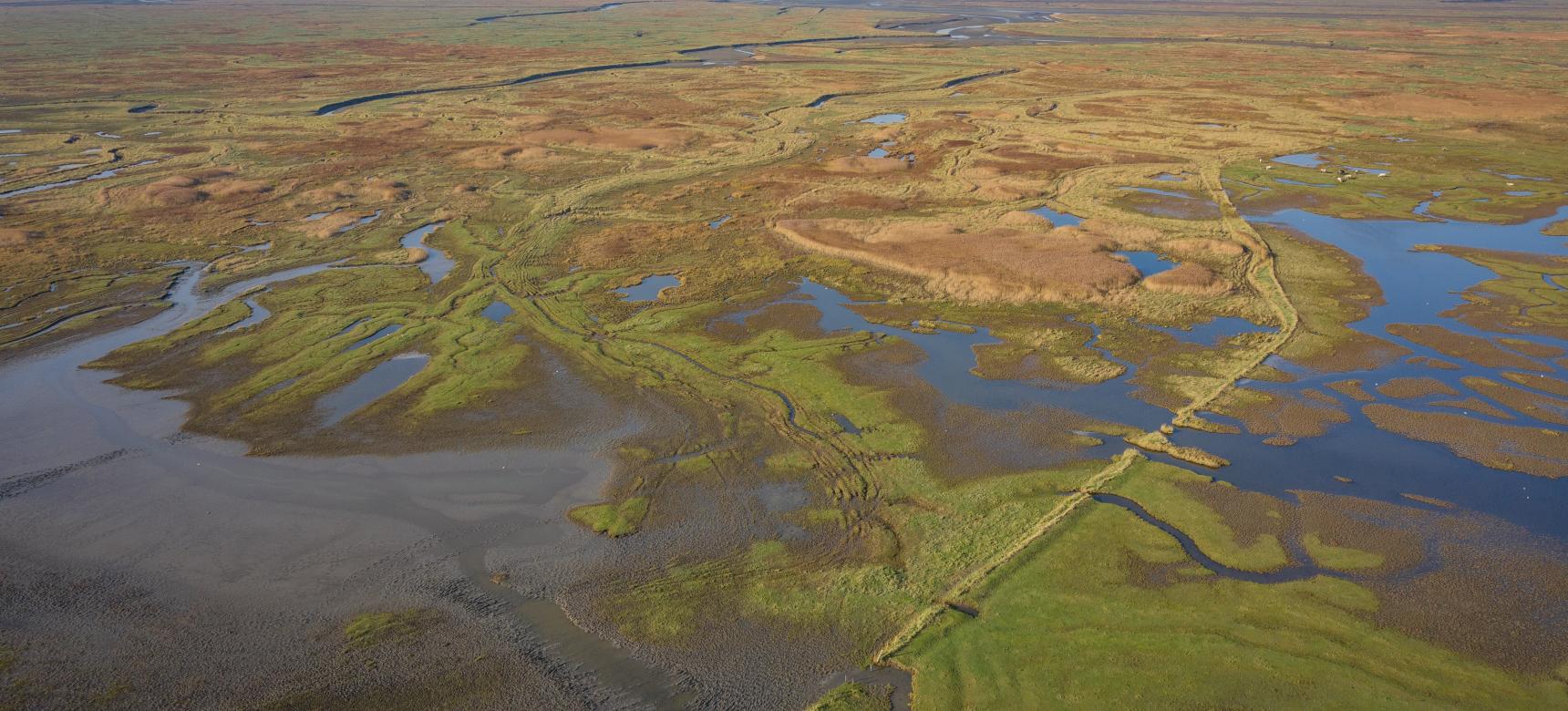
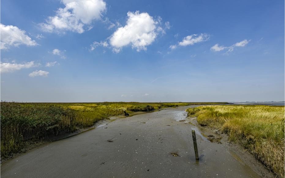
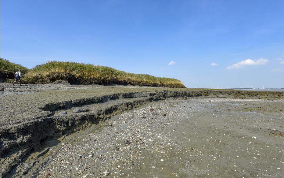
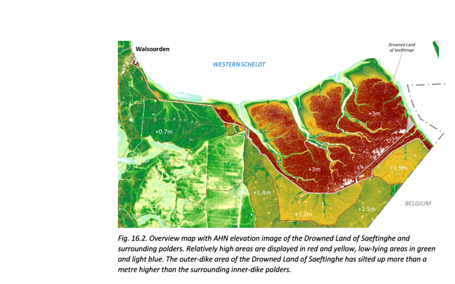
During the last ice age, Zeeuws-Vlaanderen was a cover sand landscape. At the end of this time, the climate warmed up and the sea level rose. Due to inadequate drainage, the cover sand landscape changed into a peat bog. The peat continued to grow for thousands of years and around 750 B.C. all of Zeeuws-Vlaanderen was covered with peat. In the Late Iron Age, farmers began draining the peatlands, causing the land to sink and the sea to gain more and more control. This led to Zeeland being flooded for centuries, in the area of Saeftinghe the flooding took place from the 7th century AD. The landscape remained a tidal area until the first dikes were built. The first phase in which the area was lost involved a military inundation to drive out the Spanish occupiers. Probably the locks near the village of Saeftinghe were breached, after which tidal channels could form within a few months. Only in 1715 was the "Polder van Namen" lost, after a disastrous flood swept away the dikes and floods turned the land into a salt marsh.


